Geolocate

Haslington topographic map

Click on the map to display elevation.

About this map

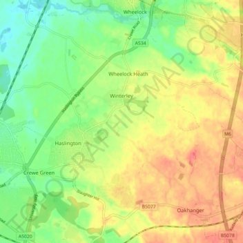
Name: Haslington topographic map, elevation, terrain.

Location: Haslington, Winterley, Cheshire East, England, United Kingdom (53.08481 -2.42066 53.12671 -2.33984)

Average elevation: 210 ft

Minimum elevation: 125 ft

Maximum elevation: 295 ft

Gear up for your next adventure:

🧤Tactile Hiking Gloves - Keep hands warm while operating GPS and smartphone screens
🌐World Map Poster - Decorative world maps with topographic info
📱Heavy-Duty Phone Cases - Drop-proof and waterproof protection for outdoor navigation
🪑Ultralight Camp Chairs - Portable seating for resting after a long day of mapping
🏕️Family Camping Gear - Essentials for group camping trips

As an Amazon Associate, this site earns from qualifying purchases at no extra cost to you.