Geolocate

Viscaino topographic map

Click on the map to display elevation.

About this map

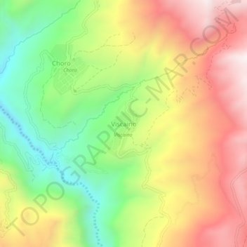
Name: Viscaino topographic map, elevation, terrain.

Location: Viscaino, Municipio Cocapata, Ayopaya, Cochabamba, Bolivia (-16.82219 -66.66127 -16.78219 -66.62127)

Average elevation: 11,453 ft

Minimum elevation: 9,888 ft

Maximum elevation: 13,100 ft

Gear up for your next adventure:

🔦Powerful Headlamps - Ultra-bright hands-free lighting for night navigation
🏫Relief Map Kits - Hands-on tools for teaching landforms and elevation
📶Vehicle Signal Boosters - Improve reception in rural areas while driving to trailheads
🔋Solar Power Banks - Keep your GPS and phone charged in remote wilderness areas
😴Insulated Sleeping Pads - Compact and warm pads for high-elevation camping

As an Amazon Associate, this site earns from qualifying purchases at no extra cost to you.