
Johnstown topographic map
Click on the map to display elevation.
About this map
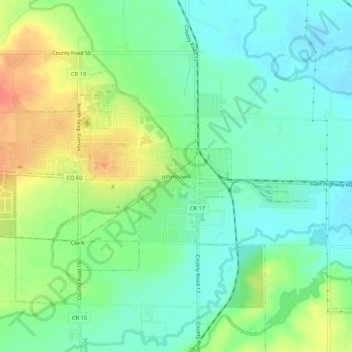
Name: Johnstown topographic map, elevation, terrain.
Location: Johnstown, Weld County, Colorado, 80534, United States (40.31503 -104.92928 40.35503 -104.88928)
Average elevation: 4,826 ft
Minimum elevation: 4,757 ft
Maximum elevation: 4,944 ft
Weld County trails, hiking, mountain biking, running and outdoor activities