Geolocate

Beerberg topographic map

Click on the map to display elevation.

About this map

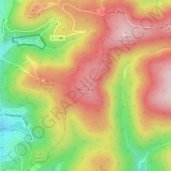
Name: Beerberg topographic map, elevation, terrain.

Location: Beerberg, Suhl, Thuringia, 98527, Germany (50.60448 10.73505 50.60458 10.73515)

Average elevation: 2,247 ft

Minimum elevation: 1,608 ft

Maximum elevation: 2,766 ft

Gear up for your next adventure:

🥩Freeze-Dried Meals - Nutritious and lightweight food for remote expeditions
🍳Camping Cook Set - Complete cookware for outdoor meals
🪑Ultralight Camp Chairs - Portable seating for resting after a long day of mapping
Solar GPS Watches - Advanced multisport watches with built-in topographic maps
🦶Carbon Trekking Poles - Reduce knee impact on steep descents with ultra-light poles

As an Amazon Associate, this site earns from qualifying purchases at no extra cost to you.