
Kidayi 'A' topographic map
Interactive map
Click on the map to display elevation.
About this map
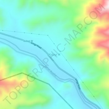
Name: Kidayi 'A' topographic map, elevation, terrain.
Location: Kidayi 'A', Kilosa, Morogoro Region, Coastal Zone, Tanzania (-7.54309 36.63622 -7.50309 36.67622)
Average elevation: 2,162 ft
Minimum elevation: 1,621 ft
Maximum elevation: 3,734 ft
Other topographic maps
Click on a map to view its topography, its elevation and its terrain.