
Keller topographic map
Click on the map to display elevation.
About this map
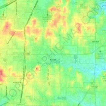
Name: Keller topographic map, elevation, terrain.
Location: Keller, Tarrant County, Texas, 76248, United States (32.89237 -97.26615 32.97857 -97.17680)
Average elevation: 699 ft
Minimum elevation: 600 ft
Maximum elevation: 827 ft
Tarrant County trails, hiking, mountain biking, running and outdoor activities
Other topographic maps
Click on a map to view its topography, its elevation and its terrain.
Will Rogers Memorial Center
United States > Texas > Tarrant County > Fort Worth
Average elevation: 594 ft