
Make a donation
Gear up for your next adventure:
As an Amazon Associate, this site earns from qualifying purchases at no extra cost to you.
Talsperre Pöhl topographic map
Click on the map to display elevation.
Make a donation
Gear up for your next adventure:
As an Amazon Associate, this site earns from qualifying purchases at no extra cost to you.
Talsperre Pöhl
Die Talsperre Pöhl ist nach der Größe des Speicherraums die zweitgrößte und nach der Höhe des Absperrbauwerkes über Gründung sowie nach der Wasserfläche die drittgrößte Talsperre in Sachsen. Die Talsperre dient dem Hochwasserschutz, der Brauchwasserversorgung, der Niedrigwasseraufhöhung, der Energieerzeugung, der Freizeiterholung und als Verkehrsbauwerk.
Make a donation
Gear up for your next adventure:
As an Amazon Associate, this site earns from qualifying purchases at no extra cost to you.
About this map
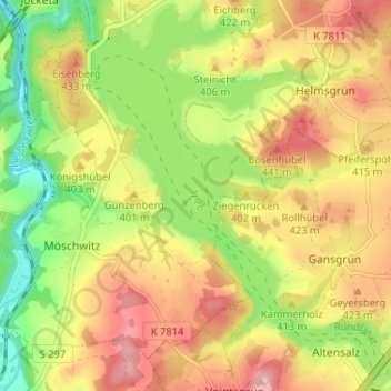
Name: Talsperre Pöhl topographic map, elevation, terrain.
Average elevation: 1,273 ft
Minimum elevation: 1,014 ft
Maximum elevation: 1,516 ft
Make a donation
Gear up for your next adventure:
As an Amazon Associate, this site earns from qualifying purchases at no extra cost to you.