
Thank you for supporting this site ❤️
Make a donation
Make a donation
Gear up for your next adventure:
As an Amazon Associate, this site earns from qualifying purchases at no extra cost to you.
Hadjer Dara topographic map
Click on the map to display elevation.
Thank you for supporting this site ❤️
Make a donation
Make a donation
Gear up for your next adventure:
As an Amazon Associate, this site earns from qualifying purchases at no extra cost to you.
About this map
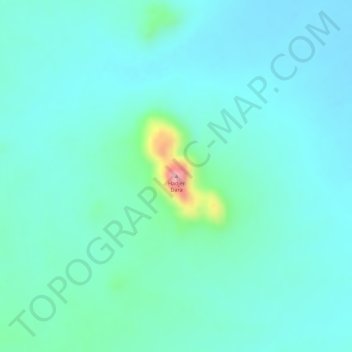
Name: Hadjer Dara topographic map, elevation, terrain.
Location: Hadjer Dara, Wadi Fira, Chad (14.98923 21.48836 14.98933 21.48846)
Average elevation: 2,264 ft
Minimum elevation: 2,165 ft
Maximum elevation: 2,680 ft
Thank you for supporting this site ❤️
Make a donation
Make a donation
Gear up for your next adventure:
As an Amazon Associate, this site earns from qualifying purchases at no extra cost to you.