Geolocate

Bullsbrook topographic map

Click on the map to display elevation.

About this map

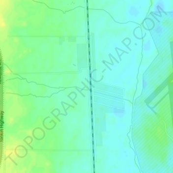
Name: Bullsbrook topographic map, elevation, terrain.

Location: Bullsbrook, City Of Swan, Western Australia, Australia (-31.67963 115.98793 -31.65963 116.00793)

Average elevation: 118 ft

Minimum elevation: 95 ft

Maximum elevation: 154 ft

Other topographic maps

Click on a map to view its topography, its elevation and its terrain.

Gear up for your next adventure:

🖼️Topo Map Wall Art - Decorative topographic prints of famous peaks and regions
🧺Microfiber Travel Towels - Compact and fast-drying towels for trail use
🥩Freeze-Dried Meals - Nutritious and lightweight food for remote expeditions
☀️Outdoor Sunscreen - High protection sunscreen for outdoor activities
🌄Hiking Binoculars - Compact binoculars for scenic views and trail spotting

As an Amazon Associate, this site earns from qualifying purchases at no extra cost to you.