Geolocate

Windsbach topographic map

Click on the map to display elevation.

About this map

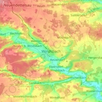
Name: Windsbach topographic map, elevation, terrain.

Location: Windsbach, Landkreis Ansbach, Bayern, 91575, Deutschland (49.20892 10.78906 49.28892 10.86906)

Average elevation: 1,365 ft

Minimum elevation: 1,207 ft

Maximum elevation: 1,499 ft

Gear up for your next adventure:

😴Insulated Sleeping Pads - Compact and warm pads for high-elevation camping
📖Nature Tracking Books - Learn to track wildlife and terrain
👖Convertible Hiking Pants - Versatile zip-off pants for changing altitudes and temperatures
🦶Carbon Trekking Poles - Reduce knee impact on steep descents with ultra-light poles
📷Action Cameras - Rugged cameras to document your journeys across rugged terrain

As an Amazon Associate, this site earns from qualifying purchases at no extra cost to you.