
Fuenlabrada topographic map
Click on the map to display elevation.
Fuenlabrada
The founding of the village of Fuenlabrada has been tentatively traced to the late 14th century, populated by the dwellers of the nearby settlements of Loranca, Albas and Fregacedos, which had been simultaneously depopulated. The first mention of Fuenlabrada, which by the early 16th century was part of the Land of Madrid, was recorded later in the century, during the reign of Philip II, in the so-called Topographic Relations of Philip II. The village suffered the loss of a quarter of the population in the second half of the 18th century.
About this map
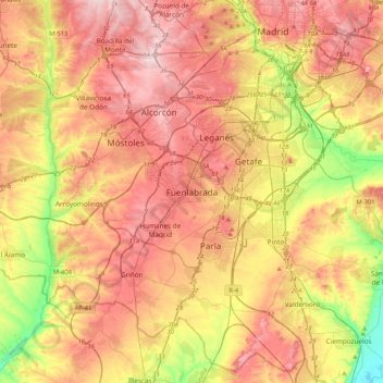
Name: Fuenlabrada topographic map, elevation, terrain.
Average elevation: 2,067 ft
Minimum elevation: 1,624 ft
Maximum elevation: 2,431 ft