
Bontang topographic map
Click on the map to display elevation.
About this map
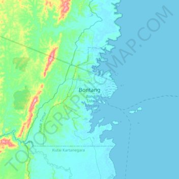
Name: Bontang topographic map, elevation, terrain.
Location: Bontang, East Kalimantan, 77435, Indonesia (-0.03635 117.31171 0.28365 117.63171)
Average elevation: 95 ft
Minimum elevation: -10 ft
Maximum elevation: 971 ft