Geolocate

Walsh topographic map

Click on the map to display elevation.

👉 Easily get elevation data in JSON, GeoTIFF and KML formats using Elevation API
Thank you for supporting this site ❤️
Make a donation

About this map

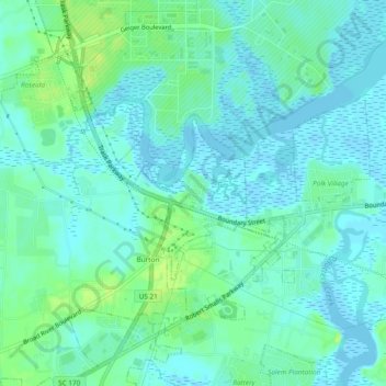
Name: Walsh topographic map, elevation, terrain.

Location: Walsh, Beaufort County, South Carolina, 29904, United States (32.42269 -80.73872 32.46269 -80.69872)

Average elevation: 16 ft

Minimum elevation: -13 ft

Maximum elevation: 52 ft

Gear up for your next adventure:

🔊Portable Camp Speaker - Music and alerts at camp
🥤Water Filter Bottle - All‑in‑one filter bottle for safe hydration
🧺Microfiber Travel Towels - Compact and fast-drying towels for trail use
Backpacking Tent - Lightweight and durable tent for multi‑day hikes
🗺️Topographic Maps - Detailed topo maps for hiking, exploring and outdoor navigation

As an Amazon Associate, this site earns from qualifying purchases at no extra cost to you.