
Thank you for supporting this site ❤️
Make a donation
Make a donation
Gear up for your next adventure:
As an Amazon Associate, this site earns from qualifying purchases at no extra cost to you.
Tampak topographic map
Click on the map to display elevation.
Thank you for supporting this site ❤️
Make a donation
Make a donation
Gear up for your next adventure:
As an Amazon Associate, this site earns from qualifying purchases at no extra cost to you.
About this map
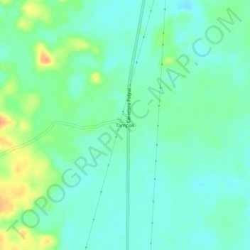
Name: Tampak topographic map, elevation, terrain.
Location: Tampak, Felipe Carrillo Puerto, Quintana Roo, Mexico (19.50803 -88.61688 19.54803 -88.57688)
Average elevation: 92 ft
Minimum elevation: 52 ft
Maximum elevation: 180 ft
Thank you for supporting this site ❤️
Make a donation
Make a donation
Gear up for your next adventure:
As an Amazon Associate, this site earns from qualifying purchases at no extra cost to you.