
Mahagaon topographic map
Click on the map to display elevation.
About this map
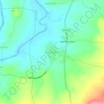
Name: Mahagaon topographic map, elevation, terrain.
Location: Mahagaon, Gadhinglaj, Kolhapur district, Maharashtra, India (16.12567 74.31353 16.16567 74.35353)
Average elevation: 2,152 ft
Minimum elevation: 2,054 ft
Maximum elevation: 2,395 ft