
Thank you for supporting this site ❤️
Make a donation
Make a donation
Gear up for your next adventure:
As an Amazon Associate, this site earns from qualifying purchases at no extra cost to you.
Na Sam Phanh topographic map
Click on the map to display elevation.
Thank you for supporting this site ❤️
Make a donation
Make a donation
Gear up for your next adventure:
As an Amazon Associate, this site earns from qualifying purchases at no extra cost to you.
About this map
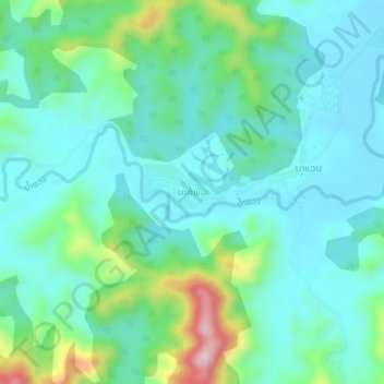
Name: Na Sam Phanh topographic map, elevation, terrain.
Location: Na Sam Phanh, Phiang District, Sainyabuli Province, Laos (18.77600 101.34857 18.81600 101.38857)
Average elevation: 1,709 ft
Minimum elevation: 1,476 ft
Maximum elevation: 2,516 ft
Thank you for supporting this site ❤️
Make a donation
Make a donation
Gear up for your next adventure:
As an Amazon Associate, this site earns from qualifying purchases at no extra cost to you.