
Town of Milford topographic map
Interactive map
Click on the map to display elevation.
About this map
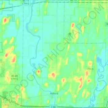
Name: Town of Milford topographic map, elevation, terrain.
Location: Town of Milford, Jefferson County, Wisconsin, United States (43.08584 -88.89331 43.19784 -88.77273)
Average elevation: 817 ft
Minimum elevation: 778 ft
Maximum elevation: 945 ft
Jefferson County trails, hiking, mountain biking, running and outdoor activities
Other topographic maps
Click on a map to view its topography, its elevation and its terrain.
Aztalan State Park
United States > Wisconsin > Jefferson County > Town of Aztalan
Average elevation: 837 ft