
Thank you for supporting this site ❤️
Make a donation
Make a donation
Gear up for your next adventure:
As an Amazon Associate, this site earns from qualifying purchases at no extra cost to you.
Fa’a topographic map
Click on the map to display elevation.
Thank you for supporting this site ❤️
Make a donation
Make a donation
Gear up for your next adventure:
As an Amazon Associate, this site earns from qualifying purchases at no extra cost to you.
About this map
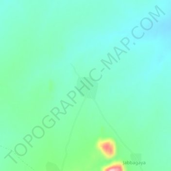
Name: Fa’a topographic map, elevation, terrain.
Location: Fa’a, Hong, Adamawa State, Nigeria (10.44850 12.96571 10.48850 13.00571)
Average elevation: 1,650 ft
Minimum elevation: 1,529 ft
Maximum elevation: 2,106 ft
Thank you for supporting this site ❤️
Make a donation
Make a donation
Gear up for your next adventure:
As an Amazon Associate, this site earns from qualifying purchases at no extra cost to you.