Geolocate

Lago Carite topographic map

Click on the map to display elevation.

About this map

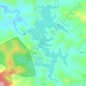
Name: Lago Carite topographic map, elevation, terrain.

Location: Lago Carite, Carite, Guayama, Puerto Rico, United States (18.05941 -66.10705 18.08444 -66.09274)

Average elevation: 1,893 ft

Minimum elevation: 1,693 ft

Maximum elevation: 2,421 ft

Gear up for your next adventure:

🪑Ultralight Camp Chairs - Portable seating for resting after a long day of mapping
🧭Compass with Lanyard - Easy‑carry compass for navigation
🧣Merino Neck Gaiters - Multi-functional headwear for wind and sun protection
🥩Freeze-Dried Meals - Nutritious and lightweight food for remote expeditions
🔌USB Car Charger - Car charger for on‑the‑go power needs

As an Amazon Associate, this site earns from qualifying purchases at no extra cost to you.