
Make a donation
Gear up for your next adventure:
As an Amazon Associate, this site earns from qualifying purchases at no extra cost to you.
Sumail topographic map
Click on the map to display elevation.
Make a donation
Gear up for your next adventure:
As an Amazon Associate, this site earns from qualifying purchases at no extra cost to you.
About this map
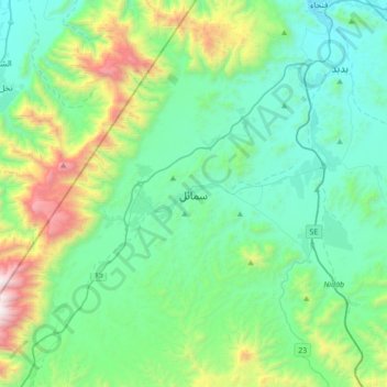
Name: Sumail topographic map, elevation, terrain.
Location: Sumail, Ad Dakhiliyah Governorate, Oman (23.14650 57.83807 23.46650 58.15807)
Average elevation: 2,100 ft
Minimum elevation: 525 ft
Maximum elevation: 7,805 ft
Make a donation
Gear up for your next adventure:
As an Amazon Associate, this site earns from qualifying purchases at no extra cost to you.
Other topographic maps
Click on a map to view its topography, its elevation and its terrain.
Izki
Oman > Ad Dakhiliyah Governorate
Izki (Arabic: إِزْكِي) is a town in the Ad Dakhiliyah region of northeastern Oman. It is located at c. 544 m (1,785 ft) altitude, and has a population of 35,173 (2003 census).
Average elevation: 2,172 ft
Bahla Fort
Oman > Ad Dakhiliyah Governorate > Bahla Province
Preservation attempt in 1995 was found to be a renovation not a restoration because the aim of the remodeling was to make the fort look new. This renovation began without prior archaeological, topographic, architectural or technical surveys.
Average elevation: 1,886 ft
Make a donation
Gear up for your next adventure:
As an Amazon Associate, this site earns from qualifying purchases at no extra cost to you.