Geolocate

Segamat River topographic map

Click on the map to display elevation.

About this map

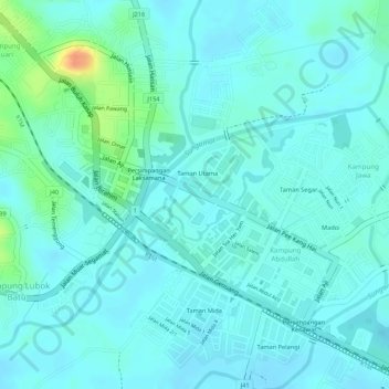
Name: Segamat River topographic map, elevation, terrain.

Location: Segamat River, Segamat, Johor, Malaysia (2.47924 102.77612 2.51334 102.83008)

Average elevation: 56 ft

Minimum elevation: 10 ft

Maximum elevation: 177 ft

Other topographic maps

Click on a map to view its topography, its elevation and its terrain.

FELDA Pemanis

Malaysia > Johor > Segamat

Average elevation: 164 ft

Kampung Tengah

Malaysia > Johor > Segamat

Average elevation: 66 ft

Kampung Abdullah

Malaysia > Johor > Segamat

Average elevation: 52 ft

Gear up for your next adventure:

🧤Hiking Gloves - Protective gloves for rugged trails
🧦Hiking Socks - Comfortable socks to prevent blisters on long hikes
🎒Waterproof Dry Bags - Keep your electronics and maps dry inside your pack
🧴Hand Sanitizer - Keep hands clean while hiking
🪶Multi‑Purpose Knife - Useful blade for camp and trail

As an Amazon Associate, this site earns from qualifying purchases at no extra cost to you.