
Thank you for supporting this site ❤️
Make a donation
Make a donation
Gear up for your next adventure:
As an Amazon Associate, this site earns from qualifying purchases at no extra cost to you.
Sandåkra topographic map
Click on the map to display elevation.
Thank you for supporting this site ❤️
Make a donation
Make a donation
Gear up for your next adventure:
As an Amazon Associate, this site earns from qualifying purchases at no extra cost to you.
About this map
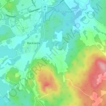
Name: Sandåkra topographic map, elevation, terrain.
Location: Sandåkra, Vetlanda kommun, 延雪平省, 57441, 瑞典 (57.37740 15.07795 57.41740 15.11795)
Average elevation: 692 ft
Minimum elevation: 554 ft
Maximum elevation: 1,040 ft
Thank you for supporting this site ❤️
Make a donation
Make a donation
Gear up for your next adventure:
As an Amazon Associate, this site earns from qualifying purchases at no extra cost to you.