Geolocate

Los Angeles topographic map

Click on the map to display elevation.

About this map

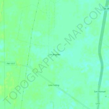
Name: Los Angeles topographic map, elevation, terrain.

Location: Los Angeles, Hidalgo County, Texas, United States (26.55812 -98.15973 26.59812 -98.11973)

Average elevation: 79 ft

Minimum elevation: 59 ft

Maximum elevation: 92 ft

Hidalgo County trails, hiking, mountain biking, running and outdoor activities

Gear up for your next adventure:

🔪Outdoor Multitools - Essential survival tools for gear repair and field use
Solar GPS Watches - Advanced multisport watches with built-in topographic maps
🕶️GPS Smartphone Mount - Secure mount for phone navigation
📚Navigation Handbooks - Master the art of reading topographic maps and using a compass
☀️Outdoor Sunscreen - High protection sunscreen for outdoor activities

As an Amazon Associate, this site earns from qualifying purchases at no extra cost to you.