
Thank you for supporting this site ❤️
Make a donation
Make a donation
Gear up for your next adventure:
As an Amazon Associate, this site earns from qualifying purchases at no extra cost to you.
Retil topographic map
Click on the map to display elevation.
Thank you for supporting this site ❤️
Make a donation
Make a donation
Gear up for your next adventure:
As an Amazon Associate, this site earns from qualifying purchases at no extra cost to you.
About this map
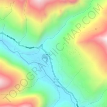
Name: Retil topographic map, elevation, terrain.
Location: Retil, Sissu, Lahul, Lahul and Spiti, Himachal Pradesh, India (32.45823 77.11107 32.49823 77.15107)
Average elevation: 11,214 ft
Minimum elevation: 9,783 ft
Maximum elevation: 13,497 ft
Thank you for supporting this site ❤️
Make a donation
Make a donation
Gear up for your next adventure:
As an Amazon Associate, this site earns from qualifying purchases at no extra cost to you.