Geolocate

Talampas topographic map

Click on the map to display elevation.

About this map

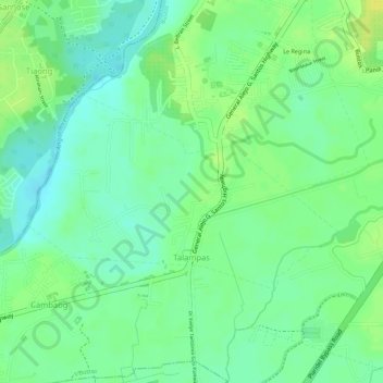
Name: Talampas topographic map, elevation, terrain.

Location: Talampas, Bustos, Bulacan, Central Luzon, Philippines (14.92866 120.89514 14.94243 120.91785)

Average elevation: 49 ft

Minimum elevation: 13 ft

Maximum elevation: 85 ft

Other topographic maps

Click on a map to view its topography, its elevation and its terrain.

Margarita Subdivision

Philippines > Bulacan > Bustos

Average elevation: 56 ft

Gear up for your next adventure:

🪑Portable Camp Table - Compact table for campsite meals
🚁Photography Drones - Capture stunning aerial views of landforms and topography
🪄Magnetic Compass - Accurate compass for navigation
📡Handheld GPS Device - Reliable handheld GPS for outdoor navigation
🪶Compact Camp Shovel - Folding shovel for campsite tasks

As an Amazon Associate, this site earns from qualifying purchases at no extra cost to you.