
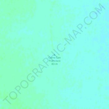
Cerro San Francisco topographic map
Interactive map
Click on the map to display elevation.
About this map
Name: Cerro San Francisco topographic map, elevation, terrain.
Average elevation: 272 ft
Minimum elevation: 262 ft
Maximum elevation: 282 ft
Other topographic maps
Click on a map to view its topography, its elevation and its terrain.
Municipio de Viedma
Municipio de Viedma, Departamento Adolfo Alsina, Río Negro, Argentina
Average elevation: 62 ft
Bajada de Echandi
Argentina > Río Negro > Municipio de Viedma
Bajada de Echandi, Municipio de Viedma, Departamento Adolfo Alsina, Río Negro, Argentina, Echandi
Average elevation: 92 ft
Lago Mascardi
Lago Mascardi, Ruta Provincial 81, Departamento Bariloche, Río Negro, Argentina
Average elevation: 3,576 ft
Lago Gutiérrez
Lago Gutiérrez, Ruta Nacional 40, Villa Lago Gutiérrez, Departamento Bariloche, Río Negro, 8400, Argentina
Average elevation: 3,855 ft