
Exhall topographic map
Click on the map to display elevation.
About this map
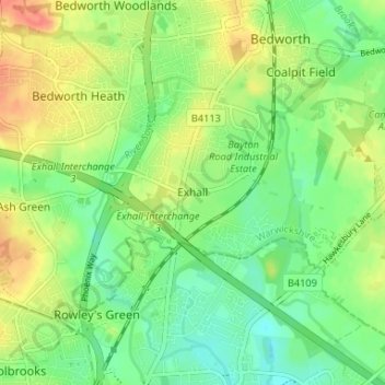
Name: Exhall topographic map, elevation, terrain.
Average elevation: 331 ft
Minimum elevation: 266 ft
Maximum elevation: 420 ft
Other topographic maps
Click on a map to view its topography, its elevation and its terrain.
Nuneaton Common
United Kingdom > England > Warwickshire > Nuneaton and Bedworth
Average elevation: 417 ft
Vale View
United Kingdom > England > Warwickshire > Nuneaton and Bedworth > Nuneaton
Average elevation: 371 ft