
Woodfield topographic map
Click on the map to display elevation.
About this map
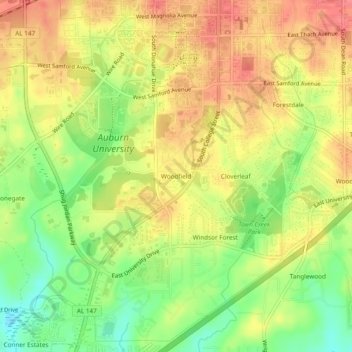
Name: Woodfield topographic map, elevation, terrain.
Location: Woodfield, Auburn, Lee County, Alabama, 36849, United States (32.56819 -85.50745 32.60819 -85.46745)
Average elevation: 636 ft
Minimum elevation: 515 ft
Maximum elevation: 732 ft
Lee County trails, hiking, mountain biking, running and outdoor activities