Geolocate

Mineral topographic map

Click on the map to display elevation.

About this map

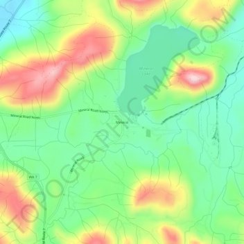
Name: Mineral topographic map, elevation, terrain.

Location: Mineral, Lewis County, Washington, 98355, United States (46.69705 -122.20094 46.73705 -122.16094)

Average elevation: 1,578 ft

Minimum elevation: 1,234 ft

Maximum elevation: 2,129 ft

Lewis County trails, hiking, mountain biking, running and outdoor activities

Gear up for your next adventure:

🥄Camping Utensil Set - Lightweight utensils for outdoor meals
🧣Merino Neck Gaiters - Multi-functional headwear for wind and sun protection
🥾Men's Hiking Boots - Durable, waterproof footwear for rugged terrain and steep inclines
🦟Ultrasonic Repellers - Create a bug-free zone at your camp or rest stop
🥾Hiking Shoes - Durable and comfortable shoes for trail hiking

As an Amazon Associate, this site earns from qualifying purchases at no extra cost to you.