
Thank you for supporting this site ❤️
Make a donation
Make a donation
Gear up for your next adventure:
As an Amazon Associate, this site earns from qualifying purchases at no extra cost to you.
Bagong Silang topographic map
Click on the map to display elevation.
Thank you for supporting this site ❤️
Make a donation
Make a donation
Gear up for your next adventure:
As an Amazon Associate, this site earns from qualifying purchases at no extra cost to you.
About this map
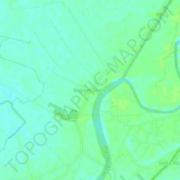
Name: Bagong Silang topographic map, elevation, terrain.
Location: Bagong Silang, Nueva Ecija, Central Luzon, 3107, Philippines (15.22902 120.80434 15.26902 120.84434)
Average elevation: 39 ft
Minimum elevation: 23 ft
Maximum elevation: 52 ft
Thank you for supporting this site ❤️
Make a donation
Make a donation
Gear up for your next adventure:
As an Amazon Associate, this site earns from qualifying purchases at no extra cost to you.