Geolocate

Riverbend topographic map

Click on the map to display elevation.

About this map

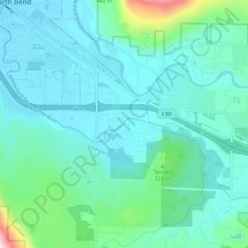
Name: Riverbend topographic map, elevation, terrain.

Location: Riverbend, King County, Washington, United States (47.45487 -121.79365 47.48474 -121.71615)

Average elevation: 768 ft

Minimum elevation: 430 ft

Maximum elevation: 3,018 ft

King County trails, hiking, mountain biking, running and outdoor activities

Gear up for your next adventure:

🎒Hydration Pack - Hands‑free water reservoir for long hikes
📚Navigation Handbooks - Master the art of reading topographic maps and using a compass
Solar GPS Watches - Advanced multisport watches with built-in topographic maps
📖Nature Tracking Books - Learn to track wildlife and terrain
🎁Geography Themed Gifts - Unique gift ideas for map lovers and geography enthusiasts

As an Amazon Associate, this site earns from qualifying purchases at no extra cost to you.