Geolocate

Mannur topographic map

Click on the map to display elevation.

About this map

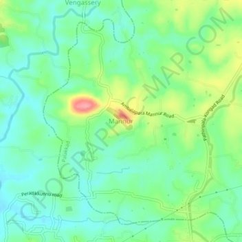
Name: Mannur topographic map, elevation, terrain.

Location: Mannur, Palakkad, Palakkad district, Kerala, 678642, India (10.78188 76.44307 10.82188 76.48307)

Average elevation: 217 ft

Minimum elevation: 112 ft

Maximum elevation: 440 ft

Other topographic maps

Click on a map to view its topography, its elevation and its terrain.

Mannoor

India > Kerala > Palakkad > Mannur

Average elevation: 236 ft

Pathirippala

India > Kerala > Palakkad > Mannur

Average elevation: 230 ft

Gear up for your next adventure:

🛰️Handheld GPS Units - Professional satellite navigators for precise backcountry mapping
🪶Thermal Camp Blanket - Extra warmth for cold nights
🦶Carbon Trekking Poles - Reduce knee impact on steep descents with ultra-light poles
🧥Men's Rain Shells - Premium waterproof and breathable jackets for mountain weather
🎒Waterproof Dry Bags - Keep your electronics and maps dry inside your pack

As an Amazon Associate, this site earns from qualifying purchases at no extra cost to you.