
Obertrattendorf - Górna Dubrawa topographic map
Interactive map
Click on the map to display elevation.
About this map
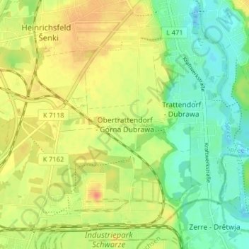
Name: Obertrattendorf - Górna Dubrawa topographic map, elevation, terrain.
Average elevation: 381 ft
Minimum elevation: 312 ft
Maximum elevation: 449 ft
Other topographic maps
Click on a map to view its topography, its elevation and its terrain.