
Vucht topographic map
Click on the map to display elevation.
About this map
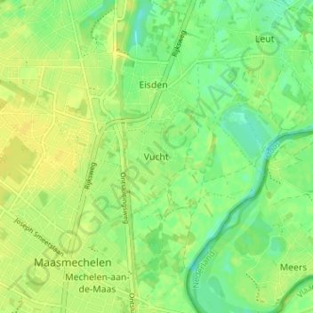
Name: Vucht topographic map, elevation, terrain.
Location: Vucht, Maasmechelen, Tongeren, Limburg, Flanders, 3630, Belgium (50.95704 5.69343 50.99704 5.73343)
Average elevation: 128 ft
Minimum elevation: 92 ft
Maximum elevation: 151 ft