
Jordan topographic map
Click on the map to display elevation.
About this map
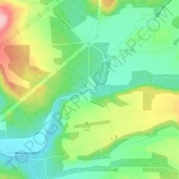
Name: Jordan topographic map, elevation, terrain.
Location: Jordan, Linn County, Oregon, United States (44.70703 -122.71904 44.74703 -122.67904)
Average elevation: 656 ft
Minimum elevation: 446 ft
Maximum elevation: 1,037 ft
Linn County trails, hiking, mountain biking, running and outdoor activities