Geolocate

Margie topographic map

Click on the map to display elevation.

About this map

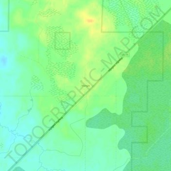
Name: Margie topographic map, elevation, terrain.

Location: Margie, Koochiching County, Minnesota, 56658, United States (48.07492 -93.96001 48.11492 -93.92001)

Average elevation: 1,253 ft

Minimum elevation: 1,217 ft

Maximum elevation: 1,296 ft

Other topographic maps

Click on a map to view its topography, its elevation and its terrain.

Ranier Beach

United States > Minnesota > Koochiching County > Ranier

Average elevation: 1,109 ft

Gear up for your next adventure:

🪶Thermal Camp Blanket - Extra warmth for cold nights
🧣Merino Neck Gaiters - Multi-functional headwear for wind and sun protection
🪶Trail Camera - Capture wildlife on your hikes
🥄Camping Utensil Set - Lightweight utensils for outdoor meals
Backpacking Tent - Lightweight and durable tent for multi‑day hikes

As an Amazon Associate, this site earns from qualifying purchases at no extra cost to you.