
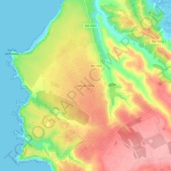
Vale da Telha topographic map
Interactive map
Click on the map to display elevation.
About this map
Name: Vale da Telha topographic map, elevation, terrain.
Location: Vale da Telha, Aljezur, Faro, 8670-156, Portugal (37.29310 -8.87541 37.33310 -8.83541)
Average elevation: 197 ft
Minimum elevation: -7 ft
Maximum elevation: 400 ft
Other topographic maps
Click on a map to view its topography, its elevation and its terrain.