
Carrapateira topographic map
Interactive map
Click on the map to display elevation.
About this map
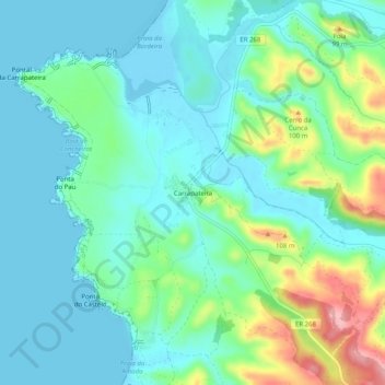
Name: Carrapateira topographic map, elevation, terrain.
Location: Carrapateira, Bordeira, Aljezur, Faro, 8670-230, Portugal (37.16405 -8.91497 37.20405 -8.87497)
Average elevation: 102 ft
Minimum elevation: -3 ft
Maximum elevation: 417 ft
Other topographic maps
Click on a map to view its topography, its elevation and its terrain.