
Make a donation
Gear up for your next adventure:
As an Amazon Associate, this site earns from qualifying purchases at no extra cost to you.
Chavin Archaeological Site topographic map
Click on the map to display elevation.
Make a donation
Gear up for your next adventure:
As an Amazon Associate, this site earns from qualifying purchases at no extra cost to you.
Chavin Archaeological Site
Chavín de Huántar is an archaeological site in Peru, containing ruins and artifacts constructed as early as 1200 BC, and occupied until around 400–500 BC by the Chavín, a major pre-Inca culture. The site is located in the Ancash Region, 434 kilometers (270 mi) north of Lima, at an elevation of 3,180 meters (10,430 ft), east of the Cordillera Blanca at the start of the Conchucos Valley.
Make a donation
Gear up for your next adventure:
As an Amazon Associate, this site earns from qualifying purchases at no extra cost to you.
About this map
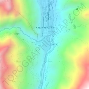
Name: Chavin Archaeological Site topographic map, elevation, terrain.
Average elevation: 11,178 ft
Minimum elevation: 10,230 ft
Maximum elevation: 12,802 ft
Make a donation
Gear up for your next adventure:
As an Amazon Associate, this site earns from qualifying purchases at no extra cost to you.