
Thank you for supporting this site ❤️
Make a donation
Make a donation
Gear up for your next adventure:
As an Amazon Associate, this site earns from qualifying purchases at no extra cost to you.
Mogao topographic map
Click on the map to display elevation.
Thank you for supporting this site ❤️
Make a donation
Make a donation
Gear up for your next adventure:
As an Amazon Associate, this site earns from qualifying purchases at no extra cost to you.
About this map
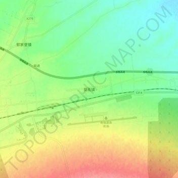
Name: Mogao topographic map, elevation, terrain.
Location: Mogao, Dunhuang City, Jiuquan, Gansu, 736200, China (40.13633 94.76485 40.21633 94.84485)
Average elevation: 3,665 ft
Minimum elevation: 3,553 ft
Maximum elevation: 3,822 ft
Thank you for supporting this site ❤️
Make a donation
Make a donation
Gear up for your next adventure:
As an Amazon Associate, this site earns from qualifying purchases at no extra cost to you.