
Bheeloora topographic map
Interactive map
Click on the map to display elevation.
About this map
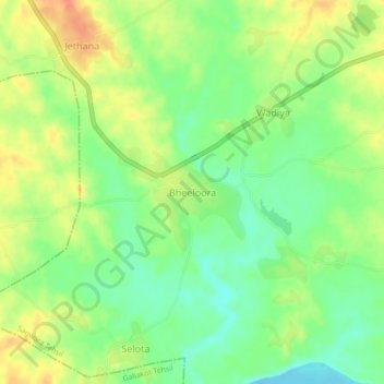
Name: Bheeloora topographic map, elevation, terrain.
Location: Bheeloora, Sagwara Tehsil, Dungarpur, Rajasthan, 314031, India (23.60721 74.05326 23.64721 74.09326)
Average elevation: 472 ft
Minimum elevation: 397 ft
Maximum elevation: 554 ft