
Angalan topographic map
Click on the map to display elevation.
About this map
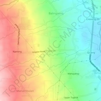
Name: Angalan topographic map, elevation, terrain.
Location: Angalan, Davao City, Davao Region, 8022, Philippines (7.09875 125.44363 7.13875 125.48363)
Average elevation: 761 ft
Minimum elevation: 476 ft
Maximum elevation: 1,106 ft
Other topographic maps
Click on a map to view its topography, its elevation and its terrain.