
Río Motupe topographic map
Interactive map
Click on the map to display elevation.
About this map
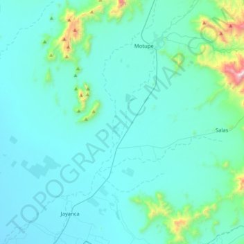
Name: Río Motupe topographic map, elevation, terrain.
Location: Río Motupe, Motupe, Lambayeque, Perú (-6.43620 -79.91795 -6.08971 -79.64410)
Average elevation: 627 ft
Minimum elevation: 138 ft
Maximum elevation: 5,266 ft
Other topographic maps
Click on a map to view its topography, its elevation and its terrain.