Geolocate

Motupe topographic map

Click on the map to display elevation.

About this map

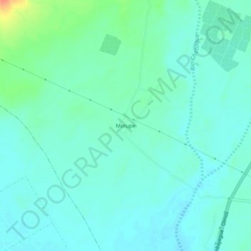
Name: Motupe topographic map, elevation, terrain.

Location: Motupe, Lambayeque, Perú (-6.30780 -79.79270 -6.26780 -79.75270)

Average elevation: 282 ft

Minimum elevation: 249 ft

Maximum elevation: 400 ft

Gear up for your next adventure:

🩳Quick‑Dry Hiking Shorts - Comfortable and quick‑dry shorts for summer hiking
🪶Fire Starter Kit - Reliable fire starter for survival and camping
🔭Stargazing Telescopes - Perfect for camping in low-light pollution areas shown on maps
📌Outdoor GPS Map App - Apps and devices for digital topographic navigation
🥩Freeze-Dried Meals - Nutritious and lightweight food for remote expeditions

As an Amazon Associate, this site earns from qualifying purchases at no extra cost to you.