
Thank you for supporting this site ❤️
Make a donation
Make a donation
Gear up for your next adventure:
As an Amazon Associate, this site earns from qualifying purchases at no extra cost to you.
Pauri topographic map
Click on the map to display elevation.
Thank you for supporting this site ❤️
Make a donation
Make a donation
Gear up for your next adventure:
As an Amazon Associate, this site earns from qualifying purchases at no extra cost to you.
About this map
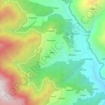
Name: Pauri topographic map, elevation, terrain.
Location: Pauri, Dunda, Uttarkashi district, Uttarakhand, 249152, India (30.69177 78.25229 30.73177 78.29229)
Average elevation: 5,512 ft
Minimum elevation: 3,957 ft
Maximum elevation: 8,077 ft
Thank you for supporting this site ❤️
Make a donation
Make a donation
Gear up for your next adventure:
As an Amazon Associate, this site earns from qualifying purchases at no extra cost to you.