Geolocate

St-Denis topographic map

Click on the map to display elevation.

About this map

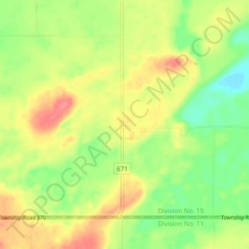
Name: St-Denis topographic map, elevation, terrain.

Location: St-Denis, Grant No. 372, Saskatchewan, Canada (52.13871 -106.11861 52.17871 -106.07861)

Average elevation: 1,814 ft

Minimum elevation: 1,709 ft

Maximum elevation: 1,923 ft

Gear up for your next adventure:

🌧️Backpack Rain Cover - Keep gear dry in wet weather
🏕️Tent Footprint - Protect your tent base from wear
📱Solar Portable Charger - Solar power bank for charging devices off‑grid
🔭Telescopic Hiking Pole - Adjustable pole for hiking stability
🌡️Handheld Weather Meters - Measure wind, temp, and pressure for safe mountain travel

As an Amazon Associate, this site earns from qualifying purchases at no extra cost to you.