
Insula Lake topographic map
Interactive map
Click on the map to display elevation.
About this map
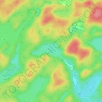
Name: Insula Lake topographic map, elevation, terrain.
Average elevation: 1,204 ft
Minimum elevation: 1,070 ft
Maximum elevation: 1,358 ft
Other topographic maps
Click on a map to view its topography, its elevation and its terrain.
Oxbow Lake
Canada > Ontario > Lake of Bays
Oxbow Lake, East Oxbow Road, Lake of Bays, District Municipality of Muskoka, Muskoka District, Ontario, Canada
Average elevation: 1,312 ft