Geolocate

Stuttgart-Nord topographic map

Click on the map to display elevation.

About this map
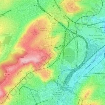
Name: Stuttgart-Nord topographic map, elevation, terrain.

Location: Stuttgart-Nord, Stuttgart, Baden-Württemberg, Duitsland (48.78302 9.14627 48.81032 9.20410)

Average elevation: 978 ft

Minimum elevation: 728 ft

Maximum elevation: 1,335 ft

Gear up for your next adventure:

🥩Freeze-Dried Meals - Nutritious and lightweight food for remote expeditions
🪶Trail Camera - Capture wildlife on your hikes
📚Navigation Handbooks - Master the art of reading topographic maps and using a compass
🔥Plasma Lighters - Windproof lighters that work in any weather condition
🏔️Mountain Trail Maps - High‑detail maps for popular peaks

As an Amazon Associate, this site earns from qualifying purchases at no extra cost to you.