
Thank you for supporting this site ❤️
Make a donation
Make a donation
Gear up for your next adventure:
As an Amazon Associate, this site earns from qualifying purchases at no extra cost to you.
Mezaourou topographic map
Click on the map to display elevation.
Thank you for supporting this site ❤️
Make a donation
Make a donation
Gear up for your next adventure:
As an Amazon Associate, this site earns from qualifying purchases at no extra cost to you.
About this map
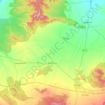
Name: Mezaourou topographic map, elevation, terrain.
Location: Mezaourou, Telagh District, Sidi Bel Abbès, 22025, Algeria (34.74630 -0.74504 34.92481 -0.57438)
Average elevation: 2,808 ft
Minimum elevation: 2,228 ft
Maximum elevation: 3,770 ft
Thank you for supporting this site ❤️
Make a donation
Make a donation
Gear up for your next adventure:
As an Amazon Associate, this site earns from qualifying purchases at no extra cost to you.