Geolocate

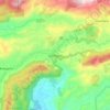
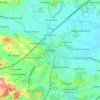
Matara topographic map

Click on the map to display elevation.

About this map
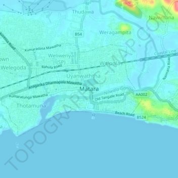
Name: Matara topographic map, elevation, terrain.

Location: Matara, Matara District, Southern Province, 81000, Sri Lanka (5.93739 80.52078 5.95813 80.55998)

Average elevation: 23 ft

Minimum elevation: -7 ft

Maximum elevation: 259 ft

Other topographic maps

Click on a map to view its topography, its elevation and its terrain.
Kamburupitiya

Sri Lanka > Southern Province

Average elevation: 141 ft

Deniyaya

Sri Lanka > Southern Province

Average elevation: 1,480 ft

DC

Sri Lanka > Southern Province > Hambantota

Average elevation: 56 ft

Ranna

Sri Lanka > Southern Province

Average elevation: 56 ft

Gandara

Sri Lanka > Southern Province

Average elevation: 43 ft

Beliatta

Sri Lanka > Southern Province

Average elevation: 125 ft

Hikkaduwa

Sri Lanka > Southern Province

Average elevation: 10 ft

Nonagama

Sri Lanka > Southern Province

Average elevation: 36 ft

Ridiyagama

Sri Lanka > Southern Province

Average elevation: 66 ft

Godagama

Sri Lanka > Southern Province

Average elevation: 13 ft

Kirinda

Sri Lanka > Southern Province

Average elevation: 230 ft

Dematapitiya

Sri Lanka > Southern Province

Average elevation: 220 ft

Polhena Beach

Sri Lanka > Southern Province > Polhena

Average elevation: 13 ft

Gear up for your next adventure:

🧷Carabiner Set - Durable clips for gear attachment
🪑Ultralight Camp Chairs - Portable seating for resting after a long day of mapping
📶Vehicle Signal Boosters - Improve reception in rural areas while driving to trailheads
🕶️GPS Smartphone Mount - Secure mount for phone navigation
🪶LED Camping Lantern - Bright lantern for camp lighting

As an Amazon Associate, this site earns from qualifying purchases at no extra cost to you.